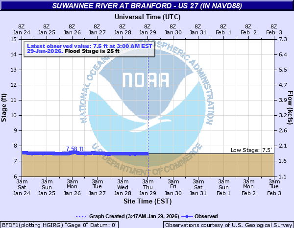
Suwannee River at Branford - US 27 (in NAVD88)
Critical Stages
22' - Action
25' - Flood
31' - Moderate
36' - Major
Latest Observation
Updated: 10:00 AM EST 12/14/25
Status: No Flooding
Stage: 7.85 ft
Flow: 1.98 kcfs
Forecast
Forecast not available for this location.
| Time | Stage (ft) | Flow (kcfs) |
|---|---|---|
| 10:00 AM 12/14 | 7.85 | 1.98 |
| 9:45 AM 12/14 | 7.85 | 1.98 |
| 9:30 AM 12/14 | 7.84 | 1.98 |
| 9:15 AM 12/14 | 7.85 | 1.98 |
| 9:00 AM 12/14 | 7.85 | 1.98 |
| 8:45 AM 12/14 | 7.85 | 1.98 |
| 8:30 AM 12/14 | 7.85 | 1.98 |
| 8:15 AM 12/14 | 7.85 | 1.98 |
| 8:00 AM 12/14 | 7.84 | 1.98 |
| 7:45 AM 12/14 | 7.85 | 1.98 |
| 7:30 AM 12/14 | 7.85 | 1.98 |
| 7:15 AM 12/14 | 7.84 | 1.98 |
| 7:00 AM 12/14 | 7.84 | 1.98 |
| 6:45 AM 12/14 | 7.84 | 1.98 |
| 6:30 AM 12/14 | 7.84 | 1.98 |
| 6:15 AM 12/14 | 7.84 | 1.98 |
| 6:00 AM 12/14 | 7.84 | 1.98 |
| 5:45 AM 12/14 | 7.84 | 1.98 |
| 5:30 AM 12/14 | 7.84 | 1.98 |
| 5:15 AM 12/14 | 7.84 | 1.98 |
| 5:00 AM 12/14 | 7.84 | 1.98 |
| 4:45 AM 12/14 | 7.84 | 1.98 |
| 4:30 AM 12/14 | 7.84 | 1.98 |
| 4:15 AM 12/14 | 7.84 | 1.98 |
| 4:00 AM 12/14 | 7.84 | 1.98 |
| 3:45 AM 12/14 | 7.84 | 1.98 |
| 3:30 AM 12/14 | 7.84 | 1.98 |
| 3:15 AM 12/14 | 7.84 | 1.98 |
| 3:00 AM 12/14 | 7.84 | 1.98 |
| 2:45 AM 12/14 | 7.84 | 1.98 |
40.5' -
Water reaches the top of the US-27 bridge railing.
38.1' -
Water begins to flood the US-27 bridge travel lanes.
38' -
Record flooding occurs. Water crosses US-27 in Branford at Savannah Street, flooding businesses. Homes on NW Senter Avenue west of NW Express Street are subject to flooding. In Lafayette County, SR 349 is completely flooded for 2 miles south of US-27.
37' -
Flooding expands across Branford south of SW Owens Avenue and west of SW Express Street. Water reaches the parking lot of the Family Dollar. Homes on NW 1st, 2nd, and 3rd street are subject to flooding. In Lafayette County, water spreads west of SR 349, flooding CR 375 and flooding homes just south of the CR 375 intersection with SR 349.
36.8' -
Water begins to flood the approach road surface to the US-27 bridge in Lafayette County.
36' -
In Branford, flood waters reach US-27 flooding SE Suwannee Avenue and SW Drane Street south of SW Lafayette Avenue. In Lafayette County, water approaches a few homes on the east side of SR 349 south of CR 375.
34.3' -
Water reaches the base of the US-27 bridge over the Suwannee River.
34' -
In Branford, NW 2nd Avenue floods, isolating access to several homes in the area. In Lafayette County, SE Apaloosa Road floods and homes in the area are subject to flooding.
33' -
In Branford, water begins to approach a neighborhood on NW 2nd Avenue. In Lafayette County, water approaches homes on SE Apaloosa Road.
32' -
In Suwannee County, Suwannee Cove Road is completely flooded, isolating homes in the area. In Lafayette County, homes not elevated on NE Gold Dust Road are subject to flooding.
31.5' -
Suwannee county road 349, northwest of Branford, will be flooded.
31' -
Flood waters begin to approach homes between SW Suwannee Avenue and SW Express Court south of US-27 in Branford. In Lafayette County, access to homes along NE Golf Dust Road becomes restricted from US-27.
30' -
Flooding occurs at several spots on NE Gold Dust Road, isolating homes near the river. In Branford, portions of SW Suwannee Avenue begin to flood south of US-27.
29' -
Suwannee Cove Road in Suwannee County begins to flood, restricting access to homes near the river. In Lafayette County, access is restricted to homes along SE River Drive.
28' -
In Lafayette County, flooding begins on NE Gold Dust Road.
27' -
In Lafayette County, flooding expands along SE River Drive, isolating homes in the area.
25.25' -
The Florida Fish and Wildlife Commission begins enforcement of a no wake zone from the SR-51 bridge at Luraville to the Little River Spring.
25' -
The Ivey Park Boat Ramp begins to flood in Branford. In Lafayette County, SE River Drive begins to flood about 3 miles downstream from Branford.
23.25' -
The Florida Fish and Wildlife Commission begins enforcement of a no wake zone from the Little River Spring to the CR 340 bridge at Rock Bluff.
| Date | Stage (ft) |
|---|---|
| Apr 11, 1948 | 38.13 |
| Aug 26, 1928 | 36.06 |
| Apr 18, 1973 | 34.82 |
| Mar 22, 1998 | 33.29 |
| Apr 13, 1984 | 32.94 |
| Feb 23, 1986 | 32.32 |
| Apr 15, 2009 | 32.01 |
| Mar 18, 1991 | 31.91 |
| Mar 29, 1959 | 31.55 |
| Mar 20, 1984 | 31.25 |
| Apr 16, 2005 | 30.74 |
| Feb 11, 1991 | 30.04 |
| May 1, 2014 | 29.9 |
| Mar 20, 1966 | 29.55 |
| Mar 16, 1964 | 29.42 |
| Mar 14, 1965 | 29.33 |
| Mar 14, 1987 | 28.54 |
| Apr 19, 1960 | 28.51 |
| Apr 26, 1983 | 28.5 |
| Mar 21, 2003 | 28.47 |
Data provided by the National Weather Service.