« Back to Brazos Bend State Park Rivers
Tres Palacios River near Midfield
Critical Stages
15' - Action
24' - Flood
26' - Moderate
29' - Major
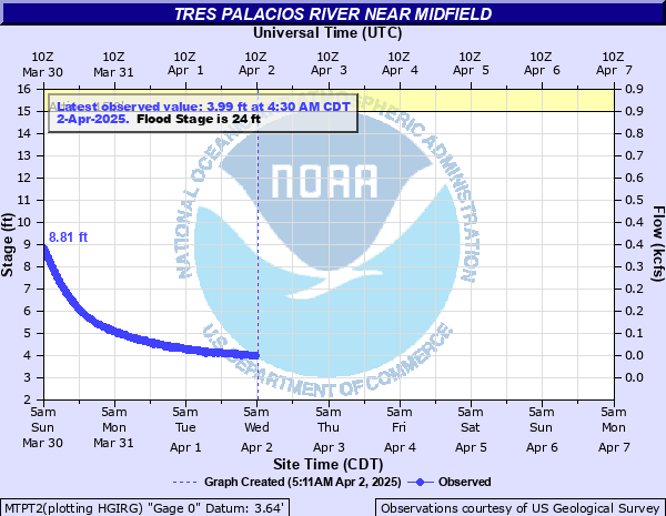
Latest Observation
Updated: 8:30 AM CST 12/14/25
Status: No Flooding
Stage: 3.24 ft
Flow: 0.0128 kcfs
Forecast
Forecast not available for this location.
| Time | Stage (ft) | Flow (kcfs) |
|---|---|---|
| 8:30 AM 12/14 | 3.24 | 0.0128 |
| 8:15 AM 12/14 | 3.23 | 0.0123 |
| 8:00 AM 12/14 | 3.23 | 0.0123 |
| 7:45 AM 12/14 | 3.24 | 0.0128 |
| 7:30 AM 12/14 | 3.23 | 0.0123 |
| 7:15 AM 12/14 | 3.24 | 0.0128 |
| 7:00 AM 12/14 | 3.24 | 0.0128 |
| 6:45 AM 12/14 | 3.24 | 0.0128 |
| 6:30 AM 12/14 | 3.24 | 0.0128 |
| 6:15 AM 12/14 | 3.24 | 0.0128 |
| 6:00 AM 12/14 | 3.24 | 0.0128 |
| 5:45 AM 12/14 | 3.24 | 0.0128 |
| 5:30 AM 12/14 | 3.24 | 0.0128 |
| 5:15 AM 12/14 | 3.24 | 0.0128 |
| 5:00 AM 12/14 | 3.24 | 0.0128 |
| 4:45 AM 12/14 | 3.24 | 0.0128 |
| 4:30 AM 12/14 | 3.24 | 0.0128 |
| 4:15 AM 12/14 | 3.24 | 0.0128 |
| 4:00 AM 12/14 | 3.25 | 0.0133 |
| 3:45 AM 12/14 | 3.25 | 0.0133 |
| 3:30 AM 12/14 | 3.25 | 0.0133 |
| 3:15 AM 12/14 | 3.25 | 0.0133 |
| 3:00 AM 12/14 | 3.25 | 0.0133 |
| 2:45 AM 12/14 | 3.25 | 0.0133 |
| 2:30 AM 12/14 | 3.25 | 0.0133 |
| 2:15 AM 12/14 | 3.25 | 0.0133 |
| 2:00 AM 12/14 | 3.25 | 0.0133 |
| 1:45 AM 12/14 | 3.25 | 0.0133 |
| 1:30 AM 12/14 | 3.25 | 0.0133 |
| 1:15 AM 12/14 | 3.25 | 0.0133 |
32' -
Water will be into the house on the right upstream side of the river. The bridge at FM 456 is cut off and water is over the road on FM 1468 near Clemville, FM 2431 east of Midfield, and FM 2853 southeast of Blessing. Many homes in the El Dorado Country subdivision upstream and Oak Grove and Tres Palacios Oaks subdivisions are flooded. The river will be almost one half mile wide in the vicinity of the gage.
29' -
Major lowland flooding begins as both approaches to the FM 456 bridge are cut off and water is over the road on FM 1468 near Clemville, FM 2431 east of Midfield, and FM 2853 southeast of Blessing with several homes in the El Dorado Country subdivision upstream and Oak Grove and Tres Palacios Oaks downstream flooded.
28' -
Water is over the road on FM 1468 near Clemville, FM 2431 east of Midfield, and FM 2853 southeast of Blessing all in Matagorda County. Homes in the subdivisions of El Dorado Country upstream and Oak Grove and Tres Palacios Oaks downstream are threatened.
26' -
Moderate lowland flooding begins with water well into the floodplain on the right upstream bank and within inches of spilling over the east approach to the bridge at FM 456. The river will be almost one quarter mile wide in the vicinity of the gage.
24' -
Minor lowland flooding begins as water spills into the floodplain on the right upstream bank and covers the meander point at the meander curve.
| Date | Stage (ft) |
|---|---|
| Jun 1, 1960 | 37 |
| Aug 1, 1945 | 35 |
| Oct 17, 1983 | 32.43 |
| Jun 6, 2019 | 31.8 |
| Sep 20, 1979 | 31.73 |
| Oct 19, 1994 | 31.36 |
| Sep 11, 1973 | 31.11 |
| Sep 11, 1998 | 30.75 |
| May 7, 1982 | 30.56 |
| Oct 12, 1970 | 30.38 |
| Aug 29, 2017 | 30.21 |
| Oct 25, 2015 | 30.09 |
| Jul 5, 2007 | 30.04 |
| May 14, 2004 | 29.92 |
| May 16, 1992 | 29.7 |
| Jun 17, 2015 | 29.65 |
| May 19, 1980 | 29.62 |
| Apr 5, 1991 | 29.58 |
| Jul 11, 2012 | 29.56 |
| Jul 27, 2006 | 29.46 |
Data provided by the National Weather Service.